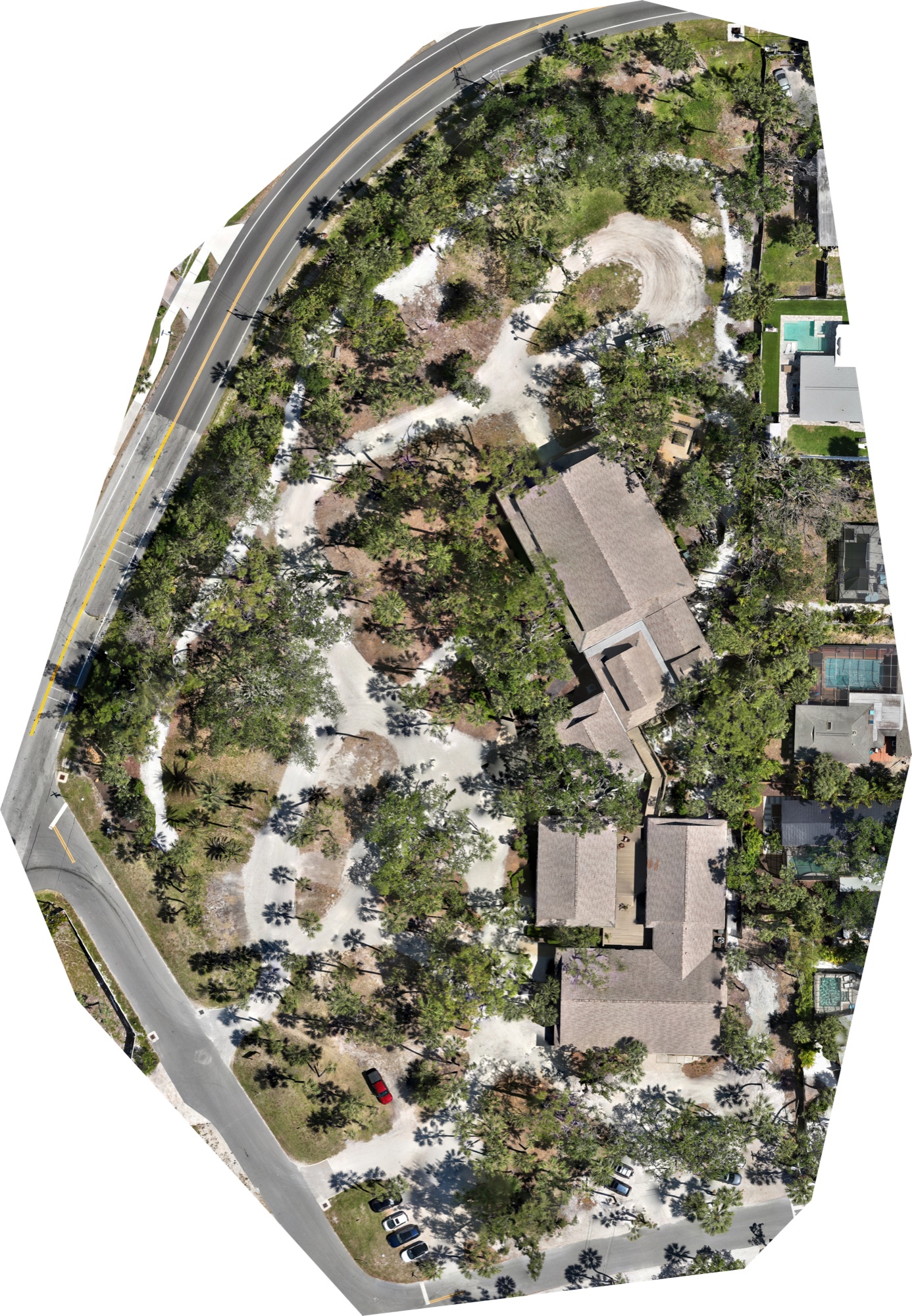
Aerial imaging for Southwest Florida properties. Most of our work is pond and littoral-zone documentation for HOAs, but we also fly construction progress, commercial real estate, mapping, and editorial photography for property and brand teams. The approach across all of it is the same: clean, dated, repeatable imagery that your team can actually use.
Our lead service is HOA littoral-zone documentation. Everything else is built on the same principle: deliberate framing, repeatable results, and files your team can actually open, reference, and file away. A quick note on each below.
01
Littoral Zone Imaging
Florida law requires most HOAs to maintain the native shoreline vegetation around retention ponds, and documenting that vegetation well is harder than it sounds. Shorelines are overgrown, water-bordered, or fenced off, and walking them for photos takes hours that your property manager does not have. We fly the full perimeter of each pond at consistent altitude and hand back a dated visual record: the kind of evidence your lake-management vendor uses to plan treatment, your board references at the annual meeting, and your manager files when the county or insurance asks.
Monthly or quarterly flyovers of active community projects: construction, renovations, landscape overhauls, long treatment windows. We fly the same altitude, angle, and framing on every visit, so your first image and your last image line up cleanly. Useful when you need to show the board what actually changed, when a contractor claim needs supporting evidence, or simply when a project runs long enough that memory alone stops being reliable.
03
Mapping & Orthomosaics
An orthomosaic is a stitched, measurement-accurate map built from dozens or hundreds of overlapping aerial photos. Unlike a casual drone shot, it is georeferenced, so your engineer or landscape architect can pull real distances and areas from it directly, the same way they would from a surveyor's plan. Useful for retention-pond inventories, erosion tracking, pre-construction site plans, or verifying what a vendor actually installed versus what they invoiced for.
04
Aerial Photography & Video
When a property, club, or campaign needs a hero shot, we can make one. Commercial real estate listings, club and community promotions, brand work, film and documentary inserts. We come from the documentary side of the industry, not the spec-shot side, which tends to mean slower, more thoughtful framing and footage that still reads well a few years after the shoot.
02 · Selected Work
A growing index.
New operation, active portfolio. Listed below are current and in-progress projects. Full imagery and case studies populate as jobs close.
Littoral Survey27°21'N082°30'W320 AGL
Deer Creek
2025 littoral survey · Sarasota County
Orthomosaic27°15'N082°33'W380 AGL
Siesta Key Chapel
Tree Foundation orthomosaic · Siesta Key
Commercial & EditorialArchive2023 to 2025Various
Selected commercial work
Editorial + brand aerials · Duplain Media archive
Open CapacityYour project here.
Booking · Summer 2026
Recurring HOA slots available
Sample · Siesta Key Chapel
Inside the survey.
A photogrammetry mesh built from 652 drone frames. Drag to rotate, scroll to zoom, and use the toggle to switch between the wireframe survey view, the textured deliverable, and a hybrid overlay.
Now your turnDrag to look around · scroll to zoom · pinch on mobile
Loading 3D meshPreparing...
~27 MB · streamed once, cached after
03 · About
Why this exists.
I spent most of my career in digital video and documentary film. Duplain Aerials grew out of that work. Drones started as a camera position for the documentary side, and after a few years of flying Florida shoreline for lake-management vendors and property managers, it was clear there was a real service here worth building on its own.
What I did not expect was how much I would enjoy the biology. Florida littoral zones are strict, specific, and frequently misunderstood. County codes are dense, permitted plant lists change, and the contractors your HOA hires are not required to explain any of it to you. I have put real time into getting fluent in what has to be there, why treatments work or fail, and how regulators read a survey. The more I learn, the better the work.
I also sit on a condo board as a unit owner, which means I have been on the other side of the invoice. I have dealt with contractors who do not respond to email, who hand back reports you cannot open, who quote a number and then bill another. Duplain Aerials is in part a reaction to that. I want to be the vendor I wanted when I was the one calling: responsive, transparent, and above all, actually helpful and knowledgeable about the thing you are paying for.
Most drone pilots do not want to learn a permit manual. Most of the people who know the biology and the regulatory side cannot fly commercially. Duplain Aerials is small on purpose and deliberately positioned in that narrow crossover: a licensed pilot, documentary-grade craft, and real fluency in pond management and the code around it. The goal is to earn each community's trust early, and then hold it because the work holds up.
Based in Sarasota. Working the coast from Ft. Myers through Tampa and Lakeland, and inland as work takes us.
Caleb Duplain · Lead PilotField Operator · TBASecond Unit · TBA
04 · Common Questions
What boards ask first.
A few of the questions that come up on the first call. If yours is not here, it goes at the top of our reply.
How quickly can you schedule a survey?+
Most new Southwest Florida communities fly within two to three weeks of first contact, weather permitting. We do rush work when the calendar and the forecast cooperate. If your community is on a recurring monthly or quarterly schedule, those slots book further out, but that cadence also tends to be the cleaner way to budget and plan around treatment windows.
Are you insured? What is "Part 107?"+
Part 107 is the FAA certification that allows a pilot to fly drones commercially in U.S. airspace. It requires passing an aeronautical knowledge exam and recurrent training. Hiring a non-certified pilot for paid work over your community is technically a federal violation, and your community association insurance may decline a related claim if something goes wrong. We are current on Part 107 and carry a $1M commercial liability policy. Before any flight, we issue a Certificate of Insurance listing your HOA and management company as additional insured, so your risk team has a paper trail.
Does the board need to approve before you fly?+
In most cases, the commissioning party (board, property manager, or your lake-management vendor acting on behalf of the HOA) is authorization enough for flights over common areas. If your governing declarations require a specific homeowner notice or a board resolution before aerial work, we are happy to wait for those to be in place, and we can provide a short project brief to attach to the notice if that makes your job easier.
What do we actually receive at the end?+
For a littoral survey, you get high-resolution stills of every pond perimeter, a board-ready PDF summary (the kind you can attach to a meeting packet), and a shared folder of the full capture that your lake-management vendor or county inspector can download if they need it. Mapping projects deliver georeferenced orthomosaics in whatever format your engineer or landscape architect uses. Photo and video work comes back as graded final files plus source footage, so nothing is locked to us if you want to repurpose it later.
Can you coordinate with our existing lake-management vendor?+
Yes, and we strongly recommend it. We have nothing to sell that competes with your existing treatment contract. What we do provide is a neutral visual record your vendor can use to show the board that treatment is working, and that the HOA can use to verify the vendor is doing what they billed for. We often fly the week before treatment and again the week after, so everyone is working from the same set of before-and-after images.
What happens when Florida weather cancels a day?+
We simply reschedule, at no charge. Florida weather is the main reason most aerial projects slip, and we build flex days into every scope of work. Sustained high winds, heavy rain, and low visibility are unsafe to fly in and also produce low-quality imagery, so the same window that keeps the drone safe also keeps your deliverables clean.
Do you fly over private homes?+
Only the common areas, ponds, and amenities the HOA commissions. We do not linger over private yards or pools, and any incidental frames that capture a private home at recognizable resolution are cropped or blurred before the deliverable ships. If a homeowner ever has a specific concern, we are happy to share what we flew and what we delivered. Transparency tends to defuse this quickly.
05 · Contact
Request a survey.
A few details up front lets us come back with a fit, a window, and a number. Or email direct: info@duplainmedia.com.